
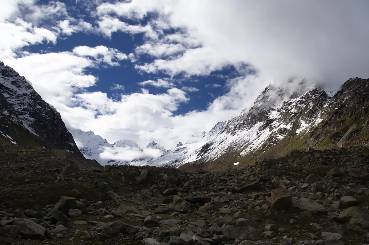
Raja Selvaraj — CC BY 2.0. Wikimedia Commons source
Route at a glance
Altitude and duration are approximate and vary with the chosen approach. Confirm local conditions before travel.
- Region
- Himachal Pradesh
- Max Altitude
- 14,470 ft (pass)
- Duration
- 1–4 days
- Difficulty
- Easy (Triund) / Difficult (pass)
- Best Season
- Mar–Jun & Sep–Nov
- Base
- McLeod Ganj, Dharamshala
Two Treks in One
Triund is the Dhauladhar's celebrated ridge campsite — a half-day walk from McLeod Ganj with the rock wall of the range on one side and the Kangra valley's lights on the other. Beyond it, the trail to Indrahar Pass (14,470 ft) transforms into a serious boulder-and-gully climb used for centuries by Gaddi shepherds.
The Route
McLeod Ganj/Dharamkot → Triund (9,350 ft) is 6–7 km of well-marked trail. Pass aspirants continue via Lahesh Cave for the pre-dawn scramble to Indrahar, returning the same way or crossing toward the Chamba side with guides.
Best Time and Difficulty
Triund walks in every season outside heavy winter snow; the pass opens roughly May–June and September–October. Triund is easy and beginner-perfect; Indrahar is a genuinely difficult day requiring fitness, an early start and a guide.
What to consider when planning
Start with the approach and the overnight elevations, rather than only the highest point. Triund & Indrahar Pass Trek should be assessed against your previous walking experience, available time and the conditions expected on the route. Check the return journey as carefully as the outward approach. The route outline above describes the landscape; it is not a navigation plan or a fixed day-by-day schedule.
Preparation and responsible travel
Build walking endurance before the trip and carry layers suited to changing mountain weather. Plan with experienced local support where the terrain requires it. Keep a conservative margin for delays and changing conditions. Stay on established paths, carry litter out and respect village customs. Avoid entering lakes or leaving offerings that become waste; mountain water sources and meadows are fragile.
Access and local checks
Confirm the current approach, trail status and any forest, protected-area or local entry requirements with the relevant authority before travel. Seasonal windows describe typical conditions, not a guarantee that the route is open. Road changes, snow, river levels and local restrictions can alter the journey. For remote crossings and glacier terrain, obtain an up-to-date assessment from qualified local professionals.
Frequently asked questions
Is this guide a day-by-day itinerary?
No. It introduces the route and its character. Exact stages should reflect current trail conditions, available overnight stops and the needs of the walking group.
How should I choose the season?
Use the season notes as a starting point, then check recent local conditions. A calendar window does not confirm safe snow, clear rivers or an open approach.
What makes this trek distinctive?
Triund is the Dhauladhar's celebrated ridge campsite — a half-day walk from McLeod Ganj with the rock wall of the range on one side and the Kangra valley's lights on the other. Beyond it, the trail to Indrahar Pass (14,470 ft) transforms into a serious boulder-and-gully climb used for centuries by Gaddi shepherds.
Where can I confirm practical details?
Consult the relevant regional tourism resources and local authorities, then check the route with an experienced local professional. Confirm access and transport before fixing dates.